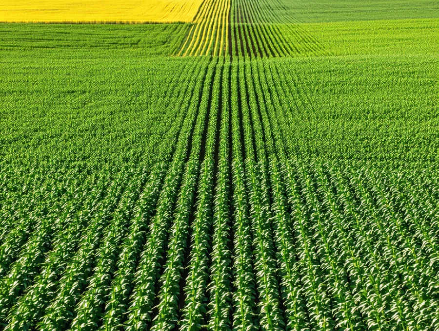
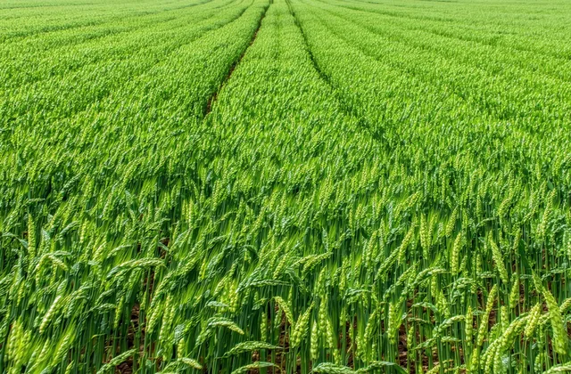
Know your field
row by row.
Fieldglint flies the field before the agronomist walks it — flagging nitrogen-deficient blocks, pest hotspots, and thin-stand rows down to the acre.
From flight to flagged report in 48 hours
We schedule a drone flight over your fields — multispectral imaging captures what the eye can't see from the ground.
AI flags rows by issue type: nitrogen deficiency, pest pressure, stand issues — down to the acre, not the whole quarter-section.
You get a PDF report and dashboard pin before the agronomist walks — so every hour of scouting goes to confirmed problem rows.
What a Fieldglint scout report looks like
A synthetic example report — 320-acre corn-soybean operation, Story County, IA. Zone data is illustrative. Real reports include GPS-referenced polygons.
Crop-specific detection for Iowa fields
What growers and agronomists say
We caught a nitrogen-deficient block in the north field at V5. Walked it the next morning, applied rescue nitrogen that afternoon. Previous years we'd have been walking the whole 640 acres and maybe caught it too late.
Before Fieldglint I was walking every client's field from the field road in — which means I was seeing what happened at the perimeter first. The zone reports let me walk straight to the confirmed problem. I can cover twice the client fields in the same day.