Built in the corn belt, for the corn belt.
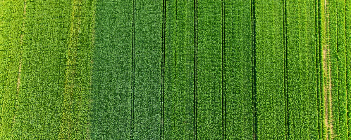
Kayla Brandt started Fieldglint in Des Moines in 2024 after watching a consultant she respected spend four hours walking a 640-acre corn field in Hamilton County — only to find one nitrogen-deficient block in the southeast corner that a multispectral flight would have located in the morning before she left the truck. The scouting time wasn't the problem. The lack of direction before the walk was.
The people behind the reports

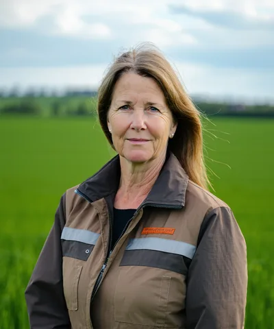
Kayla grew up on her family's grain farm in Hamilton County and spent six years as a precision ag data consultant before starting Fieldglint. She has walked a lot of corn fields. She knows which hours were wasted.

Ben built the detection model and the flight data processing pipeline. His background is in image classification for multispectral remote sensing — he came to agriculture because field-level resolution is harder and the problems are real.
Diane has 18 years of agronomic consulting across central Iowa row crops. She translates detection outputs into the action-ready recommendations in every Fieldglint report.
Three things we don't compromise on
Aerial data is a starting point, not a conclusion. Every Fieldglint report is designed to direct ground verification — not replace it. We flag what to walk, and our severity ratings are calibrated to reflect what aerials can and cannot tell you.
A report that says "nitrogen issues somewhere in your north field" isn't useful. We report to the acre — which blocks, which rows, how many acres — because that's the level at which rescue application and scouting decisions get made.
We don't promise autonomous everything or claim our AI makes perfect calls. We promise a 48-hour flagged zone report that gives your agronomist a plan before the truck pulls into the field road. That's the product. That's what we're building.
Find us in Des Moines