The framing of "drone vs. walking" sets up a false choice. Agronomists who've actually used both tools in a field season know they answer different questions — and treating one as a substitute for the other is how you end up with scouting gaps that cost yield.
The productive question is: at what point in the season, for what type of problem, in what field configuration, does each approach give you more per hour of effort? That's the question we try to answer honestly here, from the perspective of agronomists managing 10 to 40 client farms across central Iowa counties.
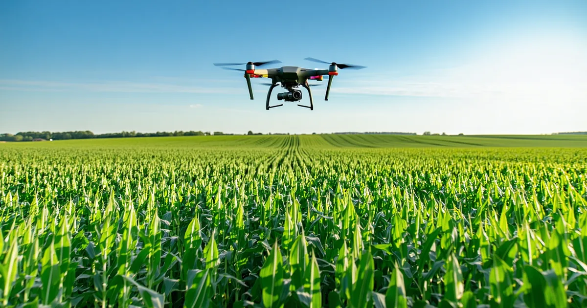
What Aerial Scouting Does Well
The primary advantage of aerial imaging is spatial completeness at a moment in time. A flight covers a 320-acre field in 20-30 minutes. Walking that field with meaningful transect coverage — enough to build a representative spatial picture — takes 2 to 4 hours depending on field shape, terrain, and crop canopy. On a day when an agronomist has 8 fields to assess, aerial data compresses that wall of time into something manageable.
Beyond speed, aerial imaging captures spatial patterns that ground walking structurally cannot. If nitrogen deficiency is concentrated in a 50-acre zone at the east end of a field — an area tied to a specific soil type — a standard walking transect will catch it only if the transect crosses that zone. A flight over the whole field flags the zone precisely, so the agronomist walks directly to it. The field walk becomes targeted confirmation rather than open-ended search.
Aerial is also better at detecting problems that exist at a scale between "individual plant" and "whole field." A 3-acre aphid colony in the middle of a 160-acre soybean field is nearly invisible to someone walking a standard W-shaped transect. From 200 feet altitude, it's a distinct canopy density anomaly. The same applies to thin-stand strips from a planter skip, early sudden death syndrome (SDS) patches, and drainage-related waterlogging zones that create crop stress rings around tile outlets.
What Ground Scouting Does That Aerial Cannot
There is no aerial replacement for crouching in a row and looking at a plant. Canopy reflectance anomalies tell you something is different in that zone — they don't tell you what it is. The differential diagnosis happens at ground level.
Consider a multispectral anomaly flagged in a corn field at V6 — a 12-acre zone showing NDRE values below field average. That zone might be: nitrogen-deficient plants on a low-OM eroded knob; a sulfur deficiency presenting as look-alike chlorosis; a rootworm egg hatch zone with early larval feeding on roots; a compaction layer from repeated wheel traffic causing root restriction; or residual herbicide injury from a previous application. All five have overlapping spectral signatures. The agronomist who walks to that flag and digs a plant will know which it is in 5 minutes. Without that ground confirmation, you're writing a prescription for the wrong problem.
We're not saying aerial flags replace diagnosis. We're saying aerial flags tell you where to spend your diagnostic time. The hour you save not walking the clean 300 acres is the hour you spend on the 12-acre problem zone with a shovel in your hand.
Ground scouting is also irreplaceable for insect threshold work. Spider mite infestations, bean leaf beetle pressure, soybean aphid colony counts — these require leaf-by-leaf sampling to establish counts per leaflet or per plant, which then get run against established economic thresholds. The threshold system for soybean aphids (250 aphids per plant with a rising population, field average exceeding threshold) requires count data that no aerial image can provide. Aerial imaging can tell you roughly where the population density is elevated; it can't tell you whether you've crossed the threshold that justifies a spray application.
Field Configuration Matters More Than People Acknowledge
Aerial efficiency drops in fields with significant tree-line shadow, multiple disconnected parcels, or irregular shapes that create long flight path inefficiencies. A 40-acre field surrounded on three sides by timber or a 160-acre field divided into four irregular parcels by drainage features and county roads may take 40% longer to fly than a clean rectangular 160. The time comparison with walking narrows considerably in those configurations.
Conversely, aerial efficiency increases sharply with field scale. A 640-acre continuous corn section in Tama County is genuinely impractical to scout comprehensively on foot — the transect coverage needed to capture spatial variability across the whole section would take a full day per field, which is time no agronomist has available during the V4-V8 window when problems need to be caught. For fields at this scale, aerial is less a time-saver and more a practical enabler of any spatial coverage at all.
The Seasonal Timing Dimension
The value of each approach also shifts across the crop calendar. Early-season (V3-V6): aerial multispectral is at peak relative value because stand establishment issues, early nitrogen stress, and herbicide injury zones are all spectrally detectable at a time when they're still correctable. Mid-season (V8-VT/R1): aerial lodging detection and pest pressure mapping take over; ground threshold sampling for insects is most critical. Post-pollination (R2-R4): aerial yield monitoring and disease pressure mapping; ground focus shifts to fungicide timing decisions that require leaf-level disease rating.
A well-designed scouting protocol uses both tools at the right calendar points rather than trying to decide which one is "better" in the abstract. The practical workflow for a consulting agronomist managing multiple client farms might look like: aerial scan at V4-V5 on all fields → walk flagged zones only → aerial at R1 for lodging and canopy checks → targeted beetle trapping and leaf counting on flagged fields during silk.
What This Means for Agronomist Time Allocation
An agronomist managing 20 client farms across two Iowa counties faces a time budget problem that gets acute in May and early June. If each farm averages 400 acres and needs at least one V4-V8 scouting pass, that's 8,000 acres to cover in roughly a 3-week window before V8 closes the nitrogen correction opportunity. Full ground scouting of 8,000 acres in 3 weeks requires roughly 5-6 hours per day of dedicated field time, zero weather delays, and no time for report writing, client communication, or anything else.
Aerial pre-screening of all 20 farms followed by targeted walking of flagged zones changes that calculus dramatically. If 14 of the 20 farms come back clean or low-risk from the aerial pass, the agronomist's ground time concentrates on the 6 that need attention. That same 3-week window becomes workable rather than impossible — and the quality of attention on the flagged fields is higher because the agronomist arrives knowing exactly which zones to investigate.
The farms that benefit most from this workflow are the larger continuous corn operations where ground coverage of the whole acreage within the correction window isn't practically achievable any other way. For a 120-acre soybean field on well-drained ground with no history of IDC, the aerial value proposition is weaker — a good agronomist can walk that field in 90 minutes and the pest pressure threshold work requires ground visits anyway.
A Note on Trust and Calibration
Agronomists new to aerial data often go through a calibration period where they're learning which aerial flags are high-fidelity signals and which are noise. Early flights on fields with known conditions — where the agronomist already knows from ground experience that "the northeast corner always runs nitrogen-short" — build confidence that the spectral anomalies correspond to real agronomic situations. Fields with a clear ground-truth history are the best training ground for developing aerial data literacy.
The flip side: aerial data from a first-year flight on a field with no history can flag real problems, but it also flags more ambiguous signals. The threshold for dispatching ground time should be calibrated to the grower's own field history. An experienced agronomist builds that calibration over a few seasons of paired aerial and ground observations — developing a practical sense of which NDRE depression values on which soil types in which regions are reliably actionable signals versus spectral noise worth noting but not chasing.